A altitude de 3660m é negligível. Vive-se na quase normalidade, se não se fizer demasiado esforço físico. Quando sobes de teleférico à Aiguille du Midi, 3842m, sentes-te ofegante quando sobes as escadas e pouco mais. Sentires-te ofegante significa que tens de abrandar o passo, mais nada.
Já estive nas seguintes cidades onde existem aeroportos onde aterram aviões a jacto: Cusco, Peru, 3360m, Lhasa, Tibet, 3650m, Leh, India, 3505m, e na época alta os viajantes chegam diariamente em aviões cheios. O que têm de fazer é hidratar-se mais que o normal, tomar aspirina e fazer esforços moderados.
Quanto aos 4570m também nada têm de fatal. Não é recomendável subir a esta altitude em pouco tempo, mas se o fizermos devemos restringir o esforço ao mínimo. É imprescindível estarmos bem agasalhados e bem hidratados.
Face ao deficit de oxigénio o organismo começa a reagir drasticamente e a produzir glóbulos vermelhos. Quanto menor for esse deficit menos o risco de contraírmos edemas (cerebrais ou pulmonares).
Como se limita o deficit de oxigénio? Reduzindo o esforço físico ao mínimo e estando muito bem agasalhado para conservarmos energia o mais possível. A protecção do frio implica maiores necessidades de energia num momento em que o organismo precisa dela para outras funções.
Não esquecer que a maior superfície de pele mais exposta que temos é a cabeça! Sempre coberta, sempre bem isolada.
Os edemas acontecem nos pulmões ou no cérebro e, por este motivo, não podemos deixar que o cérebro se torne no ponto fraco do processo.
Acrescentando outra ideia à da energia corporal, a razão por que as extremidades congelam é por que o organismo tem de gerir uma energia escassa e decide sacrificar braços e pernas para manter e conservar energia nos órgãos vitais que se encontram no tronco e na cabeça.
Outra razão por que os alpinistas em altitude gelam com maior facilidade é por que o sangue, carregado de glóbulos vermelhos, é muito mais espesso e tem muita dificuldade em circular nos minúsculos vasos das extremidades.
Mais, os efeitos de qualquer medicamento são ampliados com a altitude! Já vi ficarem em coma a 3600m por tomarem medicamentos para dormir (não sei que dose)!
Ainda quanto aos 4570m, já subi com mais 7 ocidentais, todos alpinistas com experiência nos Himalaias, e alguns sherpas, de helicóptero de uma altitude de 1000 e poucos para 4800m (Kangchenjunga, Nepal, 2001). Todos reagimos bem e esse dia passámo-lo em descanso a beber chá e à conversa. No dia seguinte fizemos uma caminhada moderada à roda e acima do acampamento. Ao 3º dia começámos a actividade normalmente subindo o glaciar.
No 2º dia, o Brian que é suiço instrutor de parapente, fez um voo de parapente descolando de um monte perto. Foi aí que me lembrei que o parapente existia e que queria experimentar...
Não me parece que o pessoal tenha de preocupar-se com a altitude por que a duração dessa exposição é demasiado curta.
Efeitos da altitude -
a) Hipoxia: dor de cabeça, vómitos, perda de equilíbrio, edema, perda de consciência;
b) Frio (com exposição ao vento, wind-chill factor): congelação (1º 2º 3º graus), hipotermia;
c) Oftalmia - a atmosfera em altitude tem menos partículas em suspensão para filtrar os raios solares, daí que seja muito importante usarem-se óculos de sol com bom poder filtrante (protecção UV 100%, IV >90%, categoria 4).
d) Protecção da pele com protectores solares pois a radiação em altitude é muito mais intensa que à superfície.
Única solução em voo para inverter estes efeitos: perder altitude.
Gonçalo Velez
(cópia de uma mensagem no forum parapenteportugal)
PS: Ler mais em http://www.high-altitude-medicine.com
PS2: O que digo aqui não significa que é inócuo subir a estas altitudes sem
precauções e que o risco é nulo.
30.05.04
domingo, maio 30, 2004


quarta-feira, setembro 04, 2002
Grande Voo na Serra da Estrela
por António Fernandes
Venho relatar-vos um voo que fiz no ultimo sábado na Covilhã na companhia do Eusébio, Zé-Tó e Paulo Coelho.
Foi assim...
Chegámos à descolagem da Covilhã (eu, o Zé-Tó, o Paulo Coelho e o Ricardo Calado) cerca das 12h/12h30, mesmo a tempo de vermos esfumar os últimos duns belos cumulos que se tinham vindo a formar mesmo por cima da descolagem.
Aí já se encontrava o Eusébio, já equipado e a barafustar que tinha estado à nossa espera e tinha perdido a melhor hora de descolagem.
Feita a conversa de sala habitual zarpou, ficando nós a preparar o equipamento. Quando finalmente descolamos (cerca de 1/2h depois, já o Eusébio estava no tecto, por cima da zona da Estalagem Serra da Estrela. Depois de descolarmos andamos cerca de 1/2h a penar frente à descolagem. Umas vezes subia-se outras descia-se, com um bocado de pancada à mistura, mas nada de conseguir altura suficiente para transitar mais para o interior da serra que era onde se estavam a formar agora os cúmulos (e o Eusébio continuava à espera). Finalmente o Paulo Coelho consegue subir o suficiente e juntar-se ao Eusébio que entretanto se tinha aproximado novamente da descolagem, e iniciam a transição. Imediatamente a seguir consigo subir o suficiente e partir no seu encalço.
Na transição entre a zona da estalagem e Unhais os dois da frente começam a perder demasiado para o meu gosto e passamos cada qual a seguir uma estratégia divergente. Eu desisto da transição e avanço para sul ao longo da cumeada da Estalagem, o Eusébio vira a norte e contorna o vale junto à estrada e o Paulo Coelho faz a transição directamente para Unhais.
Resultados... o Coelhone não se aguenta e começa a cair para o vale, eu apanho uma térmica fraquinha (1m/s) mas que foi suficiente para ir ganhando altura e seguindo o voo dos outros dois, o Eusébio na rapa lá conseguiu contornar o vale e chegar à zona de Unhais. Entretanto o Paulo Coelho, já bem dentro do vale de Unhais, lá conseguiu apanhar uma térmica que o começou a trazer para cima novamente.
Eu neste entretanto já tinha ganho uma altura confortável para transitar directamente para Unhais, e foi o que fiz, tornando-nos a reunir na zona a sul da Torre, onde cheguei com uma altura de cerca de 2700m, Fui dando umas voltinhas e aproximando-me do tecto, onde esperei pelos outros dois companheiros de viagem. No entretanto o Zé-Tó (que tinha ficado para trás) consegue safar-se e reunir-se a nós. O Paulo Coelho consegue subir mais rápido, eu junto-me a ele e atingimos o tecto por cima da Torre a cerca de 3200m. Nesta altura decidimos definir o objectivo do voo como sendo fazer golo em Linhares e iniciamos a travessia do resto da serra em direcção a oeste, um pouco depois o Eusébio e o Zé-Tó sobem e iniciam o mesmo caminho.
Quando nos aproximámos da vertente oeste, as nuvens estavam mais baixas e acabamos por entrar nelas, tendo eu que fazer orelhas para não correr o risco de chocar com o Paulo Coelho. Não sei se por esta razão ou por estar muito frio, acabei por gelar as mãos, e, depois de atravessarmos o buraco do Sabugueiro, o Paulo Coelho inflectiu para noroeste na direcção de Linhares, e eu vi-me obrigado a continuar em frente na direcção de Seia com o objectivo de aterrar (porque já não sentia as mãos) onde cheguei com cerca de 2500m. Cheguei a Seia, virei em direcção a Gouveia desci até cerca dos 1500m e este percurso no vale foi o suficiente para me aquecer novamente as mãos e recuperar a sensibilidade. Quando me senti novamente em condições, decidi retomar o caminho e tentar ainda chegar a Linhares.
Fui andando até Gouveia, por cima da cidade apanhei uma térmica que me levou até à Santinha, ganhei um pouco de altura e segui em direcção ao Folgosinho, onde decidi atravessar a direito por cima daquele buraco em direcção ao castelo de Linhares (como alias tinha feito o Paulo Coelho momentos antes com sucesso), iniciei aquela transição com 2000m, mas depois de passar Formosinho, apanhei uma descendente brutal, tendo chegado à cumeada imediatamente antes de Linhares a meio da encosta. Ganhei ainda um pouco de altura mas não achei suficiente para me passar para a descolagem de Linhares ( e além disso depois deste voo não queria estragar a pintura marrecando naquele buraco à esquerda da descolagem) e decidi vir para o vale, aterrando por detrás do castelo.
O Eusébio e o Paulo Coelho, chegaram a Linhares ainda com cerca de 2000m. Este queria ainda continuar em direcção à Guarda, mas acabou por desistir por falta de quorum. O Zé-Tó que tinha partido sem fato nem luvas, teve também de vir para o vale por causa do frio, e acabou por aterrar perto de Seia (ou Gouveia, não sei bem).
Desculpem a comprimento da narrativa, mas é do entusiasmo!!. Não é todos os dias que se faz um voo destes.
04.09.02
Venho relatar-vos um voo que fiz no ultimo sábado na Covilhã na companhia do Eusébio, Zé-Tó e Paulo Coelho.
Foi assim...
Chegámos à descolagem da Covilhã (eu, o Zé-Tó, o Paulo Coelho e o Ricardo Calado) cerca das 12h/12h30, mesmo a tempo de vermos esfumar os últimos duns belos cumulos que se tinham vindo a formar mesmo por cima da descolagem.
Aí já se encontrava o Eusébio, já equipado e a barafustar que tinha estado à nossa espera e tinha perdido a melhor hora de descolagem.
Feita a conversa de sala habitual zarpou, ficando nós a preparar o equipamento. Quando finalmente descolamos (cerca de 1/2h depois, já o Eusébio estava no tecto, por cima da zona da Estalagem Serra da Estrela. Depois de descolarmos andamos cerca de 1/2h a penar frente à descolagem. Umas vezes subia-se outras descia-se, com um bocado de pancada à mistura, mas nada de conseguir altura suficiente para transitar mais para o interior da serra que era onde se estavam a formar agora os cúmulos (e o Eusébio continuava à espera). Finalmente o Paulo Coelho consegue subir o suficiente e juntar-se ao Eusébio que entretanto se tinha aproximado novamente da descolagem, e iniciam a transição. Imediatamente a seguir consigo subir o suficiente e partir no seu encalço.
Na transição entre a zona da estalagem e Unhais os dois da frente começam a perder demasiado para o meu gosto e passamos cada qual a seguir uma estratégia divergente. Eu desisto da transição e avanço para sul ao longo da cumeada da Estalagem, o Eusébio vira a norte e contorna o vale junto à estrada e o Paulo Coelho faz a transição directamente para Unhais.
Resultados... o Coelhone não se aguenta e começa a cair para o vale, eu apanho uma térmica fraquinha (1m/s) mas que foi suficiente para ir ganhando altura e seguindo o voo dos outros dois, o Eusébio na rapa lá conseguiu contornar o vale e chegar à zona de Unhais. Entretanto o Paulo Coelho, já bem dentro do vale de Unhais, lá conseguiu apanhar uma térmica que o começou a trazer para cima novamente.
Eu neste entretanto já tinha ganho uma altura confortável para transitar directamente para Unhais, e foi o que fiz, tornando-nos a reunir na zona a sul da Torre, onde cheguei com uma altura de cerca de 2700m, Fui dando umas voltinhas e aproximando-me do tecto, onde esperei pelos outros dois companheiros de viagem. No entretanto o Zé-Tó (que tinha ficado para trás) consegue safar-se e reunir-se a nós. O Paulo Coelho consegue subir mais rápido, eu junto-me a ele e atingimos o tecto por cima da Torre a cerca de 3200m. Nesta altura decidimos definir o objectivo do voo como sendo fazer golo em Linhares e iniciamos a travessia do resto da serra em direcção a oeste, um pouco depois o Eusébio e o Zé-Tó sobem e iniciam o mesmo caminho.
Quando nos aproximámos da vertente oeste, as nuvens estavam mais baixas e acabamos por entrar nelas, tendo eu que fazer orelhas para não correr o risco de chocar com o Paulo Coelho. Não sei se por esta razão ou por estar muito frio, acabei por gelar as mãos, e, depois de atravessarmos o buraco do Sabugueiro, o Paulo Coelho inflectiu para noroeste na direcção de Linhares, e eu vi-me obrigado a continuar em frente na direcção de Seia com o objectivo de aterrar (porque já não sentia as mãos) onde cheguei com cerca de 2500m. Cheguei a Seia, virei em direcção a Gouveia desci até cerca dos 1500m e este percurso no vale foi o suficiente para me aquecer novamente as mãos e recuperar a sensibilidade. Quando me senti novamente em condições, decidi retomar o caminho e tentar ainda chegar a Linhares.
Fui andando até Gouveia, por cima da cidade apanhei uma térmica que me levou até à Santinha, ganhei um pouco de altura e segui em direcção ao Folgosinho, onde decidi atravessar a direito por cima daquele buraco em direcção ao castelo de Linhares (como alias tinha feito o Paulo Coelho momentos antes com sucesso), iniciei aquela transição com 2000m, mas depois de passar Formosinho, apanhei uma descendente brutal, tendo chegado à cumeada imediatamente antes de Linhares a meio da encosta. Ganhei ainda um pouco de altura mas não achei suficiente para me passar para a descolagem de Linhares ( e além disso depois deste voo não queria estragar a pintura marrecando naquele buraco à esquerda da descolagem) e decidi vir para o vale, aterrando por detrás do castelo.
O Eusébio e o Paulo Coelho, chegaram a Linhares ainda com cerca de 2000m. Este queria ainda continuar em direcção à Guarda, mas acabou por desistir por falta de quorum. O Zé-Tó que tinha partido sem fato nem luvas, teve também de vir para o vale por causa do frio, e acabou por aterrar perto de Seia (ou Gouveia, não sei bem).
Desculpem a comprimento da narrativa, mas é do entusiasmo!!. Não é todos os dias que se faz um voo destes.
04.09.02
quarta-feira, janeiro 02, 2002
Vida de Parapentista
 Um parapentista chegou uma vez muito tarde a casa. A sua mulher estava extremamente preocupada e chateada sem saber a razão de tal atraso.
 Ele explicou o que lhe tinha acontecido quando vinha a caminho de casa:"Eu vim da montanha e estava conduzindo a caminho de casa, quando vi um carro parado junto à berma. Uma rapariga muito gira estava a tentar mudar um pneu, e então eu parei para ajuda-la. O pneu de socorro da miúda não estava em boas condições e eu quis certificar-me que ela chegaria a casa em segurança, então fui atrás dela. Ao chegar a casa, ela convidou-me para tomar um copo como agradecimento. Uma coisa levou a outra e quando eu dei por mim desculpa querida mas foi mais forte que eu e fomos parar à cama."
"Quando reparei nas horas, saí a correr, pus-me no carro e apressei-me a chegar a casa. Desculpa o atraso querida!"
"Não me mintas seu cabrão!" - disse a mulher. "Tu ficaste e fizeste mais um voo não foi?"
sexta-feira, novembro 24, 2000
381k at Xceará 2005
by Diogo Pires
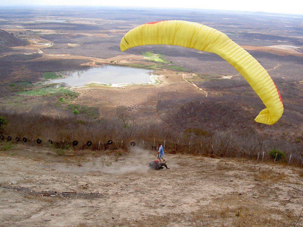
 Quixadá, 18th November 2005
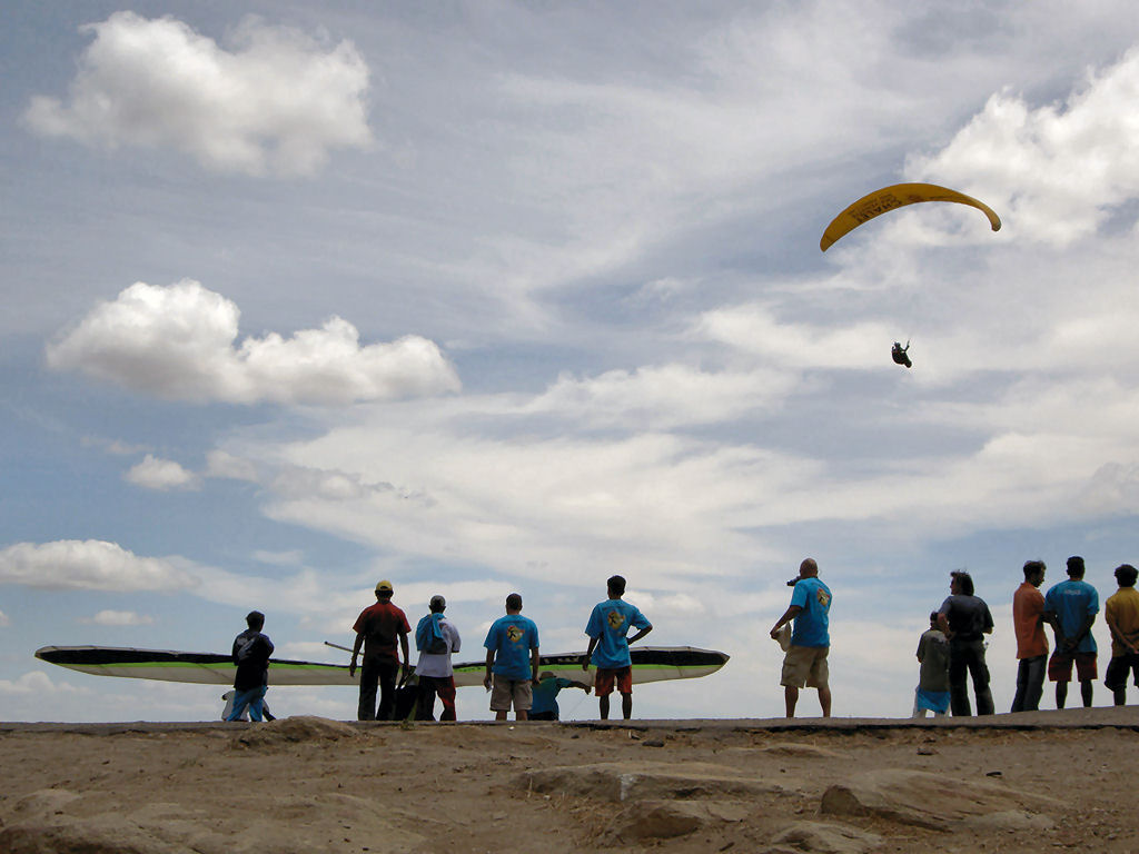
When we got down to breakfast (always plentiful: we never knew when we ate again) at the hotel the area was already very busy, for it was the last competition day, and the result was still open. We already had two flights excluded and this should be the decisive day.
The first car went to the take-off by 7h15 and I boarded the next by 7h30.
On our way I observed a pilot already in the air, circa 7h45; he was not Francisco Ceará as usual but could not identify him, I was concentrated on Bret and Tomas.
I was feeling a great pressure because I had been on the first place at first and now had slipped to third with great pilots ahead: Bret Zaenglein from the US and Tomas Brauner from the Czech Republic. Although our classification di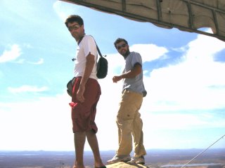 fferences were small I was in a disadvantage and needed to ponder very carefully my decisions.
I was ready to take off by 9h and it was what Tomas did, when some five pilots were already flying.
I analysed the wind cycles and noted some good windows to take-off: 20-30kmh during less than a minute then increased rapidly to 50kmh.
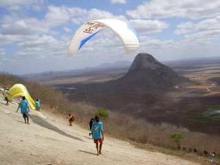
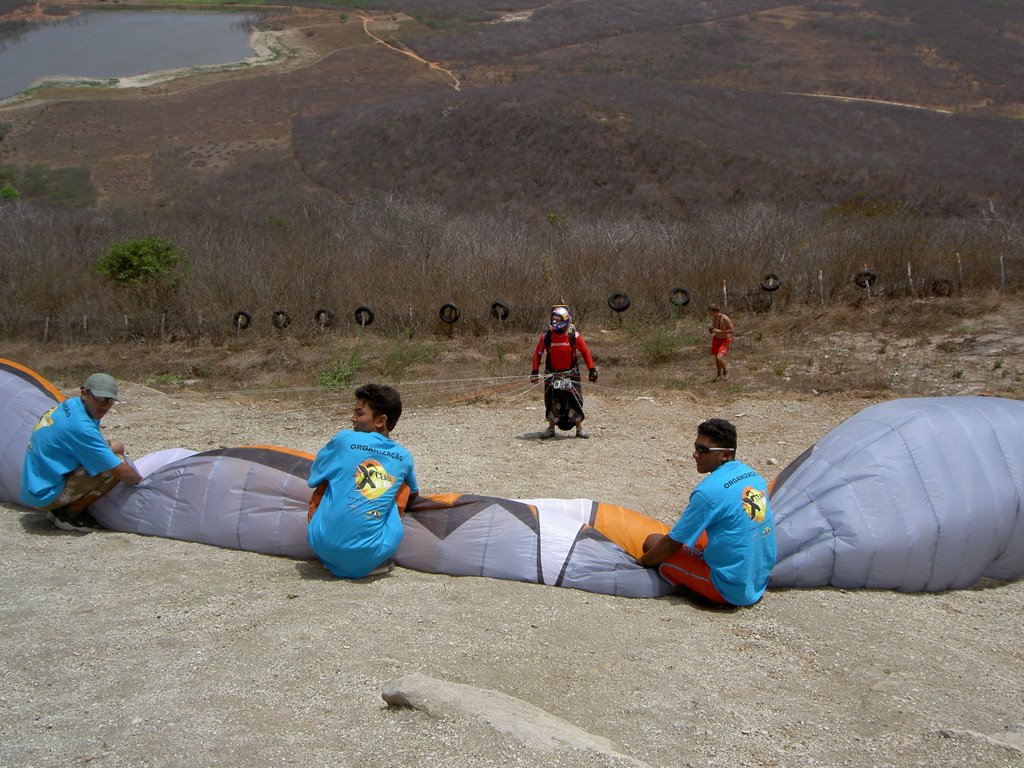
Although being on the ground, the take-off is the moment of the flight that demands the most attention and care, it is very stressful and does not allow mistakes due to the aggressive wind conditions. There are some references to observe in the process: the gusts on the lake in front, the shaking bushes, the clouds that come over and produce ample shade on the ground in front and over the take-off allowing the reduction of the wind intensity. Just when these factors are m ore or less combined favourably we would encounter minimal safe conditions to take-off. Very often this process imposes a long waiting time.
With the indispensable help of the Juatama kids (the town close to the take off) I took off at 9h12, after Petra Krausova and Gilmar Couto. Tomas was already high and Bret was preparing for take-off.
I decided to take-off in between because I thought I could bette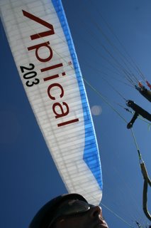 r control them. This wind cycle had been suitable to take off but bad to climb: I had to wait a long time in front of the take-off. Then came a thermal but very slanting which did not allow me to return any more. I then countered the thermal’s direction to the north over Quixadá’s lagoon, something that was not usual but I saw most pilots on the route axis flying very low.
Next I felt at risk, the ceiling was still low (1300m), the usual cumulus were scarce and the wind was braking the thermals.
Although flying low I started relatively fast, I had to wind near zeros, falling onto a descendent would be the artist’s death, I could not afford searching the thermals’ nuclei.
Then I got a serious problem: my radio’s batteries went flat and although I had a spare one I could not change it. From now on I could not control anyone and worse, I would not be able to transmit my position. Due to safety and logistical reasons the pilots should report periodically their position and distance from the set waypoints.
Since this moment in my flight I just had to concern with myself and try to ignore the other two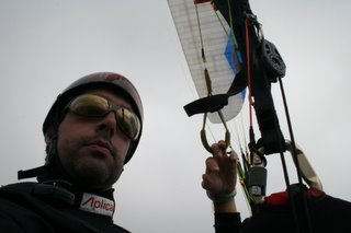 pilots although I had the feeling that they would not be far around.
Only at km 50 I was finally able to reach the base at 1800m, then it was very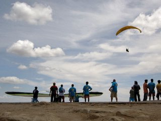 straightforward for the next 50k, fast and easy under a wonderful cumulus street with good formations and strong thermals, the day seemed to be improving a lot.
But… no, I got low down again! It is a difficult section between km 100 and km 150: there is a chain of mounts that start with hills that grow upto mountains. These mountains are normally negotiated on the north side, but “cricket clouds” showed the conditions to have deteriorated and the thermals came up in swirls.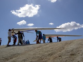
We were three pilots in misery, two paragliders and one delta. I searched for the venturi of one of these mounts and survived drifting a great deal and climbing very little towards the chain’s centre where some small cumuli provided the sign that the base should be a little higher than elsewhere.
While flying over these mounts I reckon Bret flying very low, more or less at my position, and seemed having no chance to recover (100k). Only Tomas was missing.
While flying high in the midst of this chain I suddenly detected a paraglider trying to soar on a crest at the lee of this mountain chain: that was he!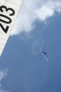
Without being 100% sure that it was Tomas I abandoned the competition route (270º) to a more southerly direction (225º) where I betted that a confluence would exist formed by the wind that became divided by the mountain and this mass would rejoin at the lee side. I hoped that it would form an ascendancy line for many quilometers. The stronger the wind on the ground, the longer this ascendancy line becomes.
I continued low and observed Miguel Costa high over me, but in a short time I climbed from 780m to 2820m and saw him and Tomas at a distance and kept flying on this confluence. After this, I saw no one during the remainder of the flight.
At 13h20, lunchtime, I was at km 180 and against my habit I ate some cereal bars and drank hydration fluid.
The plain was long unto km 210 but with a sequence of well-chained cycles it was easy.
I then reached the famous Ibiatapa mountain chain that is 150k long perpendicular to my route and on which I could see various wildfires.
If on one hand the ceiling goes up over the mountains and benefits me, on the other the fires were troubling me because there was no clouds on the plateau after the chain.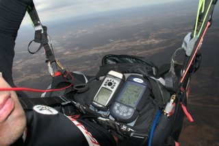
I decided not to correct my route and kept slightly southerly (225º) relatively to the competition axis (270º) trying to follow the path of my first flight this week, which also took me far (279k).
It worked, cycle after cycle, my worry now was to keep flying no matter in which direction because I knew that many pilots would land on this 30k long plateau.
At this stage I decided that I really needed to apply the “number one rule” of cross country flying: keep flying no matter in which direction!
Willing to fly fast or trying to keep on the established route could put at risk all my today’s work.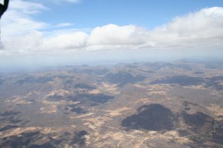
By 15h20 I was passing km 280 exactly over the place where I landed the first day. I am one hour earlier and I still have two hours to fly.
At this moment I start believing that it can happen!
Without hesitation I started a 40k traverse where the vegetation is dense but greener than previously. It is called jurema and is, in many pilots’ opinion, an enormous source of heat: it is composed of semi-dry branches that do not project shade on the ground and constitute a barrier against the wind, keeping the heat concentrated on the ground.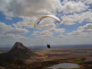
However it now had become greener and I needed to avoid it and search for shallower ground which was a difficult task because all around seemed very uniform.
From now on the company of the local preying birds, the urubus, was precious to keep flying: the sun was now shining from the south (right into my face) making it very difficult to study the terrain and the clouds were scarce.
By mid afternoon I was conscious that I needed to eat and drink again to keep the high concentration level – I had been flying for almost seven hours.
Without towns around I imagined that landing here would mean many hours walk and probably spending the night in the bush.
I entered a thermal, which would probably be the last one and winded it with a great deal of patience, and with no anxiety I reached 3000m for the first time.
It was 16h55 and had flown 340k.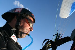
I engaged the last glide with the wind on my back with an average finesse of 15 and crossed the main road of the state (Piauí) when I noticed that some cars were already circulating with their headlights on (at 3000m we enjoy much stronger daylight than on the ground).
I reached the small town of Cabeceira (it is in Garmin 76S’s map) at km 370 and still had 800m over the ground.
Here I had a difficult decision to take: either land here or continue over a forest of palm trees and other high trees.
I knew that the south American record was 377k so landing here was excluded and went on…
Now full of anxiety I almost could not take my eyes from the gps counting every 100m.
I ceased caring, if I would not break the record one these palm trees would stop me.
It was finally with 381k flown that I turn to the wind and land on a crossing of trails in the middle of nowhere.
Without knowing exactly what to do I noticed that darkness was approaching and rapidly folded my glider ending the task with a flashlight on my hand.
Suddenly some children and adults came over. They had seen me from their hamlet and followed the flight path. I was afraid at first for I did not know how they would react.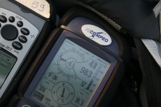
I told them that I was lost and needed help.
Soon they showed willingness to help and called a man who kindly drove me to the town in his old car. Speaking the same language was crucial.
Luckily I was able to call Chico Santos, the competition director, from this town. He was worried due to my lack of contact but very happy and confirmed that I had broken the record. He also informed that I would not be met that day but only on the following and that I should find a place to sleep.
I found lodging in the sole possibility, the lodge “Lake Breeze”. It had a patio with various cloth hammocks and two rooms at the back, one of which was free.
At 10h next morning my transport arrived and I could not imagine the ordeal that I would go through the entire daylong, very tough.
I reached Quixadá at 23h, 30.5h after landing!
Diogo Pires
PS: The results of XCeará 2005.
 Quixadá, 18th November 2005
When we got down to breakfast (always plentiful: we never knew when we ate again) at the hotel the area was already very busy, for it was the last competition day, and the result was still open. We already had two flights excluded and this should be the decisive day.
The first car went to the take-off by 7h15 and I boarded the next by 7h30.
On our way I observed a pilot already in the air, circa 7h45; he was not Francisco Ceará as usual but could not identify him, I was concentrated on Bret and Tomas.
I was feeling a great pressure because I had been on the first place at first and now had slipped to third with great pilots ahead: Bret Zaenglein from the US and Tomas Brauner from the Czech Republic. Although our classification di
 fferences were small I was in a disadvantage and needed to ponder very carefully my decisions.
I was ready to take off by 9h and it was what Tomas did, when some five pilots were already flying.
I analysed the wind cycles and noted some good windows to take-off: 20-30kmh during less than a minute then increased rapidly to 50kmh.
Although being on the ground, the take-off is the moment of the flight that demands the most attention and care, it is very stressful and does not allow mistakes due to the aggressive wind conditions. There are some references to observe in the process: the gusts on the lake in front, the shaking bushes, the clouds that come over and produce ample shade on the ground in front and over the take-off allowing the reduction of the wind intensity. Just when these factors are m
 ore or less combined favourably we would encounter minimal safe conditions to take-off. Very often this process imposes a long waiting time.
With the indispensable help of the Juatama kids (the town close to the take off) I took off at 9h12, after Petra Krausova and Gilmar Couto. Tomas was already high and Bret was preparing for take-off.
I decided to take-off in between because I thought I could bette
 r control them. This wind cycle had been suitable to take off but bad to climb: I had to wait a long time in front of the take-off. Then came a thermal but very slanting which did not allow me to return any more. I then countered the thermal’s direction to the north over Quixadá’s lagoon, something that was not usual but I saw most pilots on the route axis flying very low.
Next I felt at risk, the ceiling was still low (1300m), the usual cumulus were scarce and the wind was braking the thermals.
Although flying low I started relatively fast, I had to wind near zeros, falling onto a descendent would be the artist’s death, I could not afford searching the thermals’ nuclei.
Then I got a serious problem: my radio’s batteries went flat and although I had a spare one I could not change it. From now on I could not control anyone and worse, I would not be able to transmit my position. Due to safety and logistical reasons the pilots should report periodically their position and distance from the set waypoints.
Since this moment in my flight I just had to concern with myself and try to ignore the other two
 pilots although I had the feeling that they would not be far around.
Only at km 50 I was finally able to reach the base at 1800m, then it was very
 straightforward for the next 50k, fast and easy under a wonderful cumulus street with good formations and strong thermals, the day seemed to be improving a lot.
But… no, I got low down again! It is a difficult section between km 100 and km 150: there is a chain of mounts that start with hills that grow upto mountains. These mountains are normally negotiated on the north side, but “cricket clouds” showed the conditions to have deteriorated and the thermals came up in swirls.
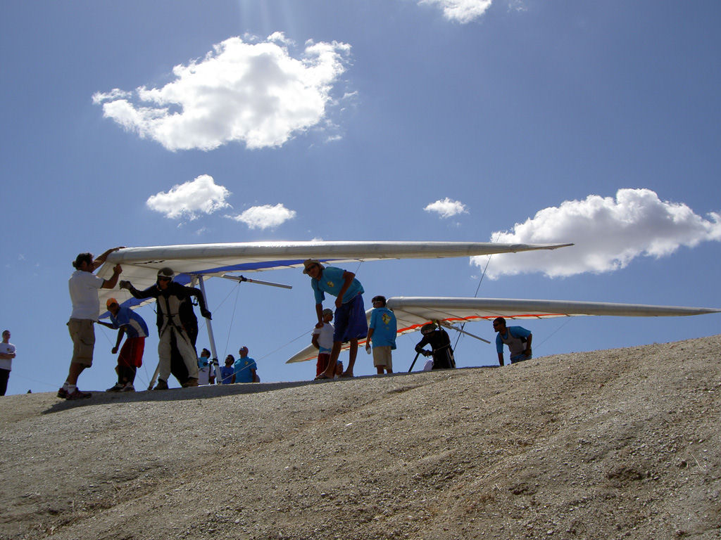
We were three pilots in misery, two paragliders and one delta. I searched for the venturi of one of these mounts and survived drifting a great deal and climbing very little towards the chain’s centre where some small cumuli provided the sign that the base should be a little higher than elsewhere.
While flying over these mounts I reckon Bret flying very low, more or less at my position, and seemed having no chance to recover (100k). Only Tomas was missing.
While flying high in the midst of this chain I suddenly detected a paraglider trying to soar on a crest at the lee of this mountain chain: that was he!

Without being 100% sure that it was Tomas I abandoned the competition route (270º) to a more southerly direction (225º) where I betted that a confluence would exist formed by the wind that became divided by the mountain and this mass would rejoin at the lee side. I hoped that it would form an ascendancy line for many quilometers. The stronger the wind on the ground, the longer this ascendancy line becomes.
I continued low and observed Miguel Costa high over me, but in a short time I climbed from 780m to 2820m and saw him and Tomas at a distance and kept flying on this confluence. After this, I saw no one during the remainder of the flight.
At 13h20, lunchtime, I was at km 180 and against my habit I ate some cereal bars and drank hydration fluid.
The plain was long unto km 210 but with a sequence of well-chained cycles it was easy.
I then reached the famous Ibiatapa mountain chain that is 150k long perpendicular to my route and on which I could see various wildfires.
If on one hand the ceiling goes up over the mountains and benefits me, on the other the fires were troubling me because there was no clouds on the plateau after the chain.
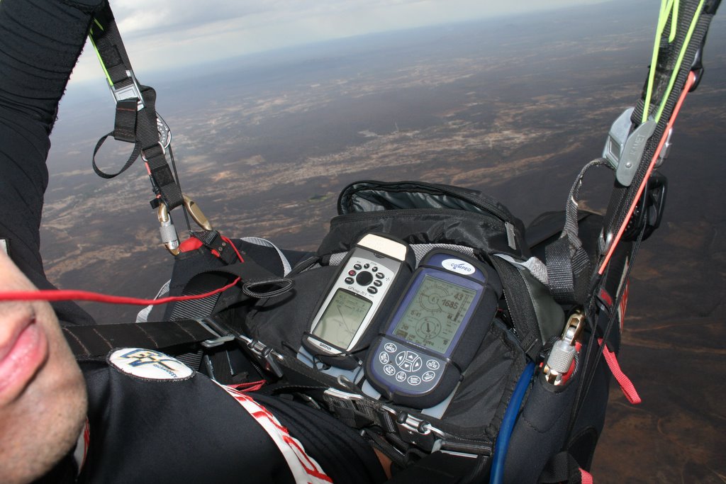
I decided not to correct my route and kept slightly southerly (225º) relatively to the competition axis (270º) trying to follow the path of my first flight this week, which also took me far (279k).
It worked, cycle after cycle, my worry now was to keep flying no matter in which direction because I knew that many pilots would land on this 30k long plateau.
At this stage I decided that I really needed to apply the “number one rule” of cross country flying: keep flying no matter in which direction!
Willing to fly fast or trying to keep on the established route could put at risk all my today’s work.
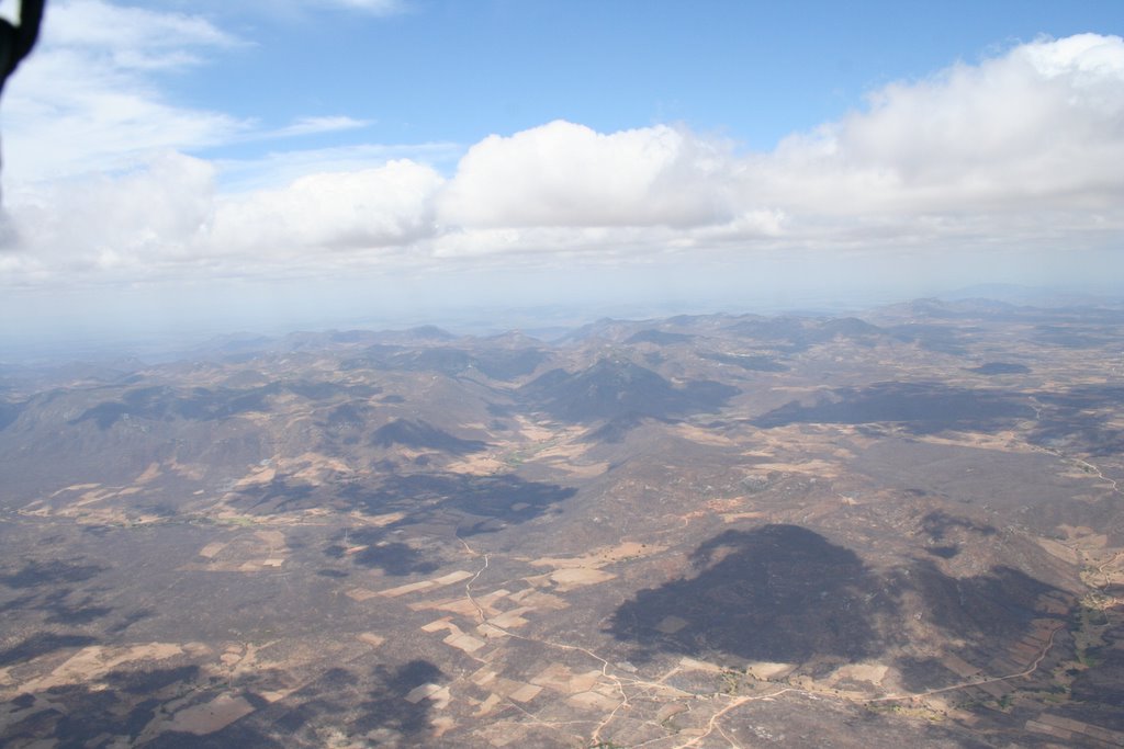
By 15h20 I was passing km 280 exactly over the place where I landed the first day. I am one hour earlier and I still have two hours to fly.
At this moment I start believing that it can happen!
Without hesitation I started a 40k traverse where the vegetation is dense but greener than previously. It is called jurema and is, in many pilots’ opinion, an enormous source of heat: it is composed of semi-dry branches that do not project shade on the ground and constitute a barrier against the wind, keeping the heat concentrated on the ground.

However it now had become greener and I needed to avoid it and search for shallower ground which was a difficult task because all around seemed very uniform.
From now on the company of the local preying birds, the urubus, was precious to keep flying: the sun was now shining from the south (right into my face) making it very difficult to study the terrain and the clouds were scarce.
By mid afternoon I was conscious that I needed to eat and drink again to keep the high concentration level – I had been flying for almost seven hours.
Without towns around I imagined that landing here would mean many hours walk and probably spending the night in the bush.
I entered a thermal, which would probably be the last one and winded it with a great deal of patience, and with no anxiety I reached 3000m for the first time.
It was 16h55 and had flown 340k.
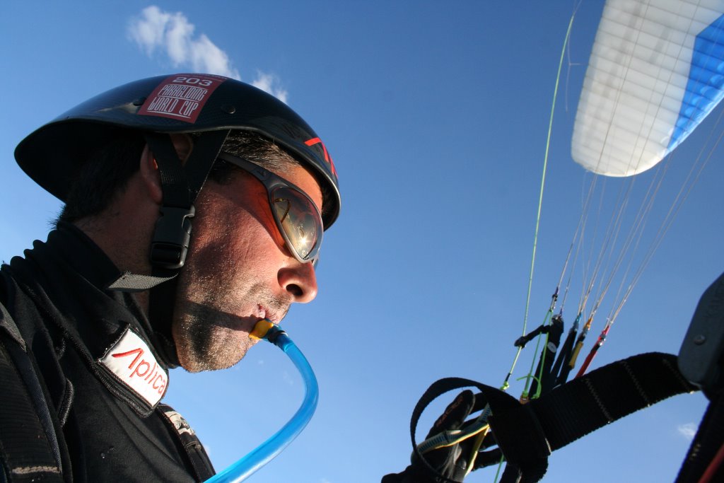
I engaged the last glide with the wind on my back with an average finesse of 15 and crossed the main road of the state (Piauí) when I noticed that some cars were already circulating with their headlights on (at 3000m we enjoy much stronger daylight than on the ground).
I reached the small town of Cabeceira (it is in Garmin 76S’s map) at km 370 and still had 800m over the ground.

Here I had a difficult decision to take: either land here or continue over a forest of palm trees and other high trees.
I knew that the south American record was 377k so landing here was excluded and went on…
Now full of anxiety I almost could not take my eyes from the gps counting every 100m.
I ceased caring, if I would not break the record one these palm trees would stop me.
It was finally with 381k flown that I turn to the wind and land on a crossing of trails in the middle of nowhere.
Without knowing exactly what to do I noticed that darkness was approaching and rapidly folded my glider ending the task with a flashlight on my hand.
Suddenly some children and adults came over. They had seen me from their hamlet and followed the flight path. I was afraid at first for I did not know how they would react.

I told them that I was lost and needed help.
Soon they showed willingness to help and called a man who kindly drove me to the town in his old car. Speaking the same language was crucial.
Luckily I was able to call Chico Santos, the competition director, from this town. He was worried due to my lack of contact but very happy and confirmed that I had broken the record. He also informed that I would not be met that day but only on the following and that I should find a place to sleep.

I found lodging in the sole possibility, the lodge “Lake Breeze”. It had a patio with various cloth hammocks and two rooms at the back, one of which was free.
At 10h next morning my transport arrived and I could not imagine the ordeal that I would go through the entire daylong, very tough.
I reached Quixadá at 23h, 30.5h after landing!
Diogo Pires
PS: The results of XCeará 2005.
segunda-feira, janeiro 10, 2000
Site Map Rotas do Vento
Site Map
Homepage
Last updated: 2010, January 10
Page generated by XML-Sitemaps.com - A Google sitemaps and html sitemaps generator
|
Copyright © 2006, 2007
Subscrever:
Mensagens (Atom)

 Mensagens